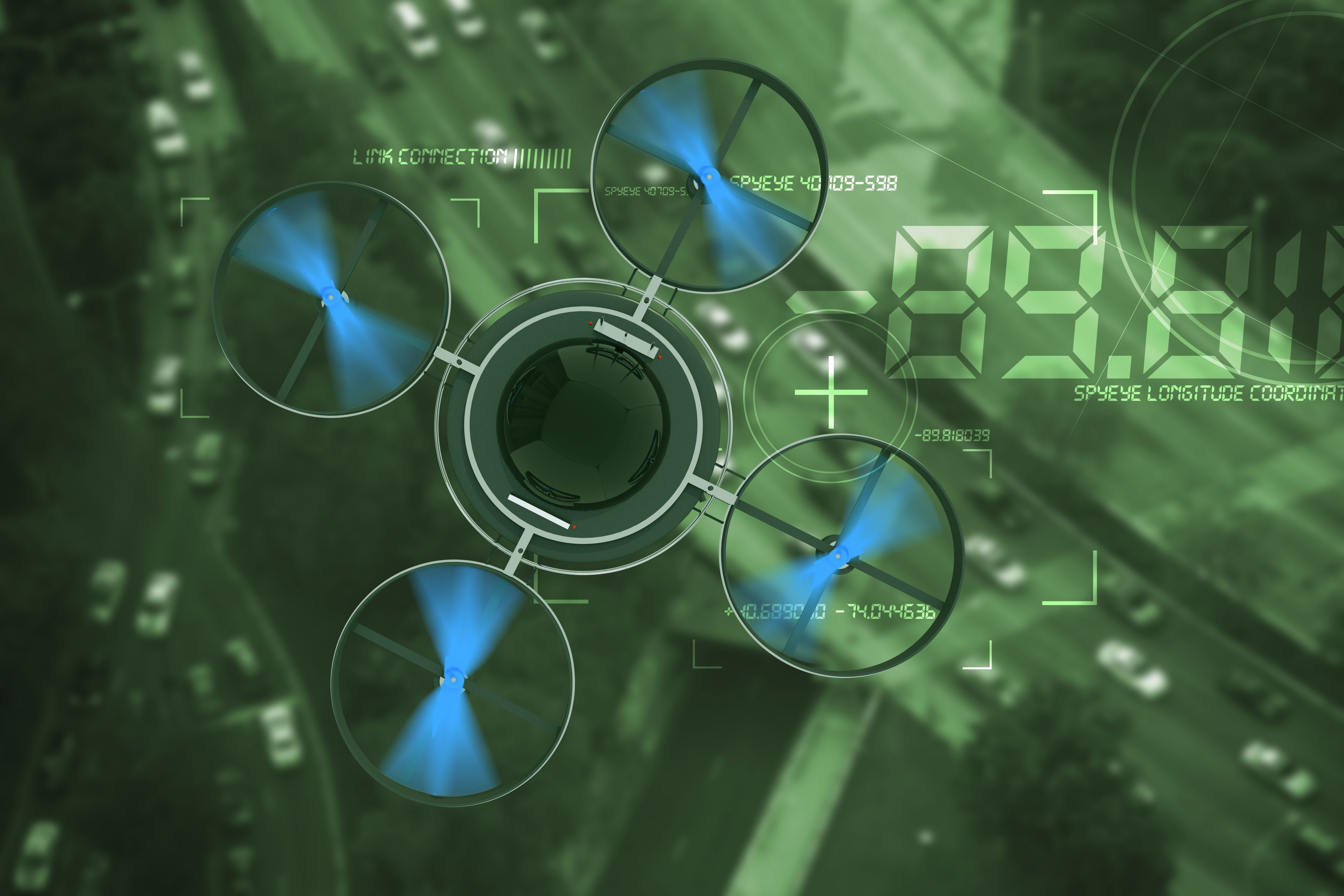
HOW DRONES ENHANCE SAFETY: TRANSFORMING INDUSTRIES AND PROTECTING LIVES
Drones are transforming the way industries manage safety. Their rapid adoption is reshaping how we respond to emergencies, inspect infrastructure, and secure public spaces. With the ability to access hard-to-reach areas and provide real-time data, drones are helping prevent accidents and save lives. As technology continues to evolve, their role in safety will only grow more significant.
The Role of Drones in Emergency Response and Disaster Management
Drones in Search and Rescue Operations
In emergency situations, time is critical. Drones equipped with high-definition cameras and thermal imaging sensors can locate missing persons in challenging environments such as forests, flood zones, or mountainous areas. Their agility and speed enhance traditional search and rescue operations by providing rapid aerial assessments.Example: During the 2015 Nepal earthquake, drones were deployed to map damaged areas, identify survivors, and aid response coordination (UNDP, 2015). Similarly, in the U.S., fire departments use drones to locate hotspots and guide firefighters safely through smoky conditions.
Enhancing Disaster Area Assessment
Post-disaster assessments are crucial for effective recovery planning. Drones provide detailed imagery and 3D mapping of affected areas, helping emergency teams prioritize resources and plan safe routes.Case Study: Following Hurricane Harvey, drones provided real-time footage of flooded areas, enabling quicker aid distribution and minimizing exposure to hazardous conditions (NASA, 2017).
Expert Insights
Emergency response professionals consistently highlight drones as essential tools. Experts recommend integrating drones into disaster response protocols, providing comprehensive training, and maintaining operational transparency.
Drones in Industrial and Construction Site Safety
Inspection and Monitoring of Hard-to-Access Areas
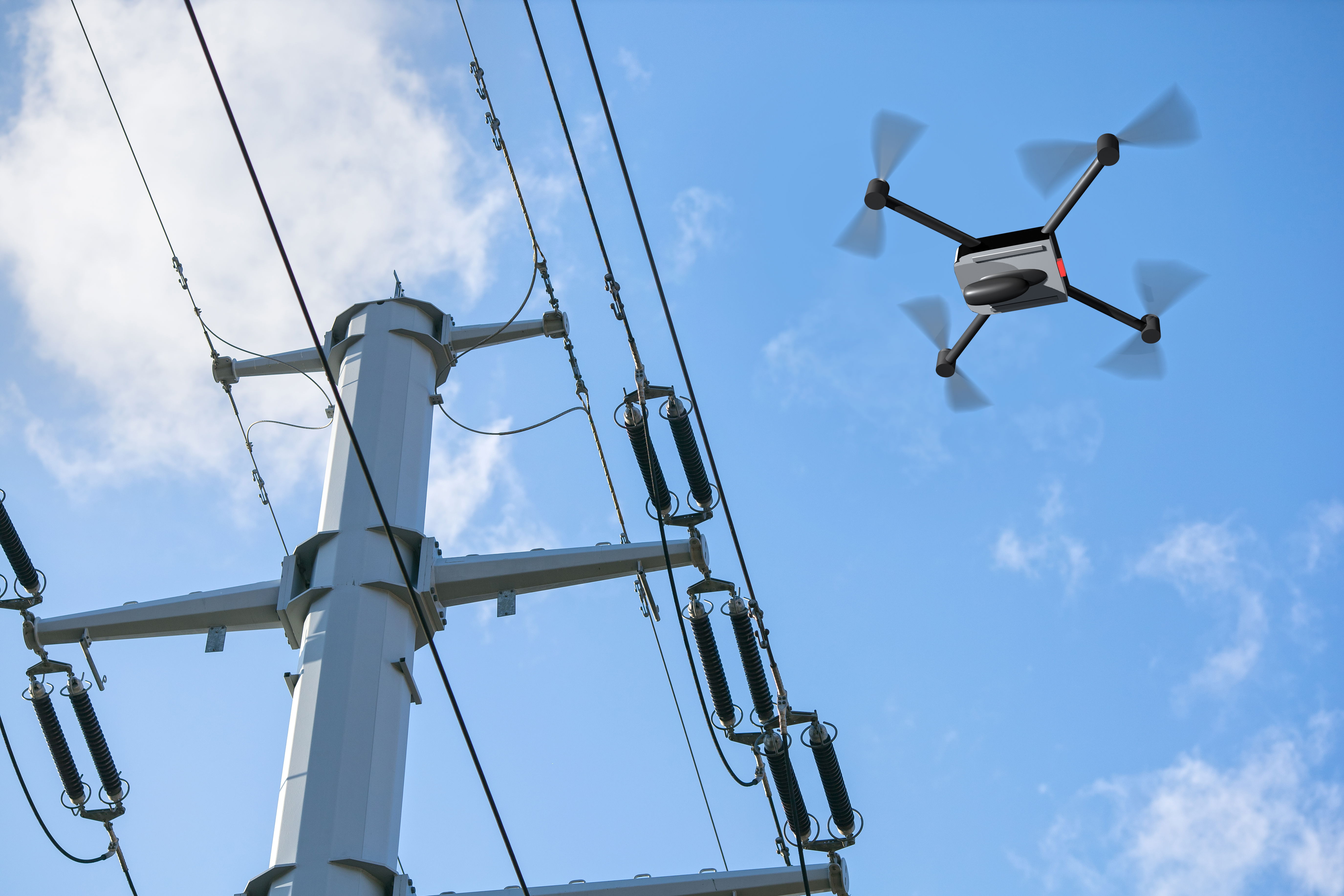
Inspecting bridges, wind turbines, or offshore platforms often involves significant risk. Drones offer a safer, more efficient alternative. They reduce the need for workers to operate at heights or in hazardous conditions, thus minimizing injuries and improving maintenance planning.Data Point: A PwC report estimates drone inspections can cut costs by up to 50% while increasing worker safety (PwC, 2016).
Real-Time Surveillance and Threat Detection
Equipped with AI, drones can monitor work sites for safety violations and detect unauthorized access or unsafe practices. This real-time surveillance enables immediate interventions to prevent accidents.
Expert Recommendations
Experts advise companies to develop a drone operation plan that includes pilot certification, data security protocols, and clear use policies. Regular audits and stakeholder engagement improve outcomes and ensure compliance.
Enhancing Public and Personal Safety with Drones
Traffic and Event Monitoring
Municipalities use drones to inspect bridges, power lines, and transit systems. This reduces disruption, improves safety, and supports preventative maintenance.Case Study: The New York City Department of Transportation uses drones to inspect suspension cables and bridge decks, reducing the need for costly closures.
Infrastructure Inspection
Drones assist law enforcement and event organizers in managing large crowds and traffic. They provide overhead views to help monitor movement, identify issues, and deploy support efficiently.Example: At the Boston Marathon, drones were used to oversee crowd flow and ensure emergency services could respond swiftly to any incidents.
Future Trends and Innovations
Urban safety planners foresee broader drone applications powered by AI, real-time data analytics, and autonomous flight. Innovations in battery life and edge computing will further enhance their effectiveness.
Legal and Ethical Considerations
Regulatory Framework
In the U.S., drone operations are governed by the FAA under Part 107, which includes restrictions on flight zones, altitude, and visibility. Similar frameworks exist worldwide, emphasizing safety and accountability.Note: Operators must ensure certification, maintain flight logs, and follow no-fly zone regulations to remain compliant (FAA, 2024).
Privacy and Ethics
Drone use raises legitimate privacy concerns. Transparency in operations, restricting data collection to necessary areas, and informing affected individuals can build trust.
Preparing for Evolving Regulations
Laws are evolving rapidly to keep up with drone capabilities. Businesses and agencies must stay informed and adapt to changes to ensure continued legal operation.
Expanding Our Services: Photography and Videography
In addition to aerial data services, SKYDATA now offers high-quality photography and videography. Whether capturing real estate listings, special events, promotional footage, or scenic landscapes, our drone and ground-based systems deliver stunning visuals with professional precision. These services complement our data-driven work by providing clients with dynamic, visually compelling content tailored to their goals.
Conclusion
Drones are a powerful ally in advancing safety across industries. They enhance emergency response, secure job sites, and help safeguard infrastructure. When used responsibly and strategically, drones offer unmatched benefits in saving lives and reducing risks.
SkyData is committed to delivering drone services that prioritize safety, innovation, and compliance. Contact us to learn how our drone solutions can enhance your safety strategy.
👉 Learn more about our services at www.skydata.services or reach out for a custom consultation.
References:
- UNDP (2015). "Nepal Earthquake Response."
- NASA (2017). "Drones Aid in Hurricane Harvey Response."
- PwC (2016). "Clarity from Above: PwC Global Report on the Commercial Applications of Drone Technology."
- FAA (2024). "UAS Regulations."